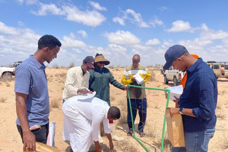
The landscapes of Wajir West Sub county support the larger pastoral communities which depend on livestock for their livelihoods. The Rangelands in this region are compromised by recurring floods, sand dunes with subsequent droughts which has resulted in vegetation biodiversity loss, stressed soil health, rampant hard pans as well as emergency of invasive species. Poor grazing management systems is a contributing factor to reduced functionality of Wajir rangelands. This has affected the sub county at large and prompted the County government of Wajir in collaboration with other stakeholder such as National Environment Management Authority (NEMA), National Drought Management Authority (NDMA), World Food Programme (WFP) , Kenya Forestry, Research Institute (KEFRI), Kenya Forest Service (KFS), University of Nairobi (UON) , Livestock Training Institute, Wajir(LTI) and Regional Centre for Mapping of Resources and Development (RCMRD), to carry out rapid rangeland assessment. The exercise was conducted between 13th and 23th November 2024. The experts from University of Nairobi in vegetation and Soil assessment were Carolyne Kyalo and Martha Kimani Respectively. During the exercise, Carolyne engaged students pursuing Range Management and Animal science courses from LTI, Wajir on Rangeland/ forest/habitat assessments. The rangeland assessments also covered land use and land cover changes as well as Participatory Resource Assessment (PRA) with active participation of Wajir Sub-County community members. The team was led by Dr. Patrick Watete, Principal, LTI, Wajir and the collaboration study was Funded by WFP.
- Log in to post comments

