Community resource mapping is not a new approach for engaging the resource users in identification and characterization of natural resources for the purpose of informing management decisions. The product is a visually prepared mental map showing spatial and temporal distribution of resources and their status. When applied within the context of participatory rangeland management (PRM), it is accompanied with identification and engagement of users, stakeholder, and existing institutions, delineation of range management units, which leads to development of a rangeland management plan, and monitoring and evaluation framework.
Under the collaboration agreement between VSF-Suisse and the University of Nairobi, Dr. Oliver Vivian Wasonga, Dr. Oscar Koech and Alphayo Lutta have been working with the pastoralist communities in Samburu County on various aspects of sustainable rangeland management. A follow up visit in Lerata Village, Samburu County on February 14-19, 2022, reveals how communities are already applying the skills acquired from previous training on participatory rangeland management.


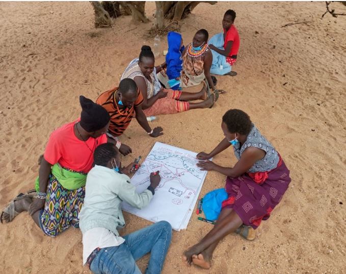
A Group of Samburu Men and Women Undertaking Resource Mapping to Guide Grazing Management Planning in Lerata Village (Facilitated by John Jamaica and Tomothy Lembara)

The Product of Rangeland Resource Mapping: Sketched Grazing Blocks
- Log in to post comments